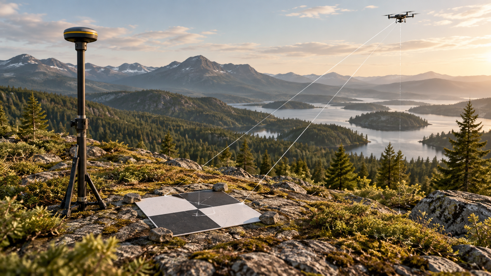
A ground control point, or GCP, is a recognizable location on the ground with independently measured coordinates. A visible target or clear physical feature lets the same point be identified in several images. During processing, control points help connect the reconstructed image geometry to the chosen real-world coordinate system.
Control point or checkpoint?
A control point helps fit the model. A checkpoint is held out of that fit and used to assess the result independently. The two roles should be recorded clearly. A small residual at the control points alone does not prove that every part of the survey is accurate.
Field and import checklist
- Spread usable targets across the survey extent and, where practical, across the range of heights.
- Survey the target center carefully and record the coordinate reference system, height reference, and units.
- Make targets visible in multiple sharp, overlapping photos.
- Keep point names consistent between the field record and imported file.
- Reserve suitable points as checkpoints and inspect their reported errors after processing.
Common failure modes
Swapped eastings and northings, mixed units, a wrong height datum, or a target marked on the wrong pixel can shift the result. A GCP that is hidden in most photos adds little value. Check the import preview and the accuracy report before using an output for an engineering decision.
MapFocal Survey supports GCP import and accuracy review alongside the image workflow. Start with the import guide and then review reports and exports. The USGS GCP data catalog gives a field example of visible targets used to improve orthomosaic and elevation accuracy.