The desktop interface may change during testing. Use sample data before applying a new workflow to a customer project.
01 · Check the surface
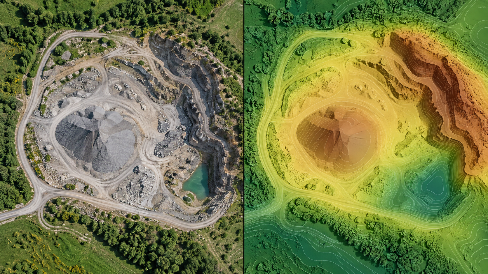
Use a terrain output with coverage and accuracy suitable for the decision.
02 · Draw a boundary
Trace the stockpile or area to measure. Check the polygon for self-intersections and coverage gaps.
03 · Choose a base
Select or define the reference surface and verify its level and units.
04 · Review cut and fill
Inspect the reported volume, assumptions, and uncertainty. Save or export the calculation with its context.