A connected workflow
Start with original images and optional surveyed control. Continue into processing, map inspection, measurements, reports, and exports without losing the project context.
A survey map is more useful when the team can inspect its source photos, accuracy checks, measurements, and delivery history in one place.
Start with original images and optional surveyed control. Continue into processing, map inspection, measurements, reports, and exports without losing the project context.
Open source photos from their map positions, compare available layers, and review checkpoint accuracy. A numerical result is useful only when the underlying coverage and units are understood.
The desktop checks memory, disk, and supported GPU hardware, then exposes the detected configuration. Large surveys can be planned around available resources.
Survey runs on a suitable Windows 11 workstation. Keep original images and project backups under your own storage and recovery plan.
Annotations, profiles, volume boundaries, selected report sections, and validated exports help teammates see what was measured and how.
One active PC uses a Survey license at a time. The customer portal shows the active seat and supports release when changing machines.
Check image import, processing, map layers, accuracy, measurements, and exports with representative data. Review the Windows and storage requirements first, especially for large image sets.
Check requirements →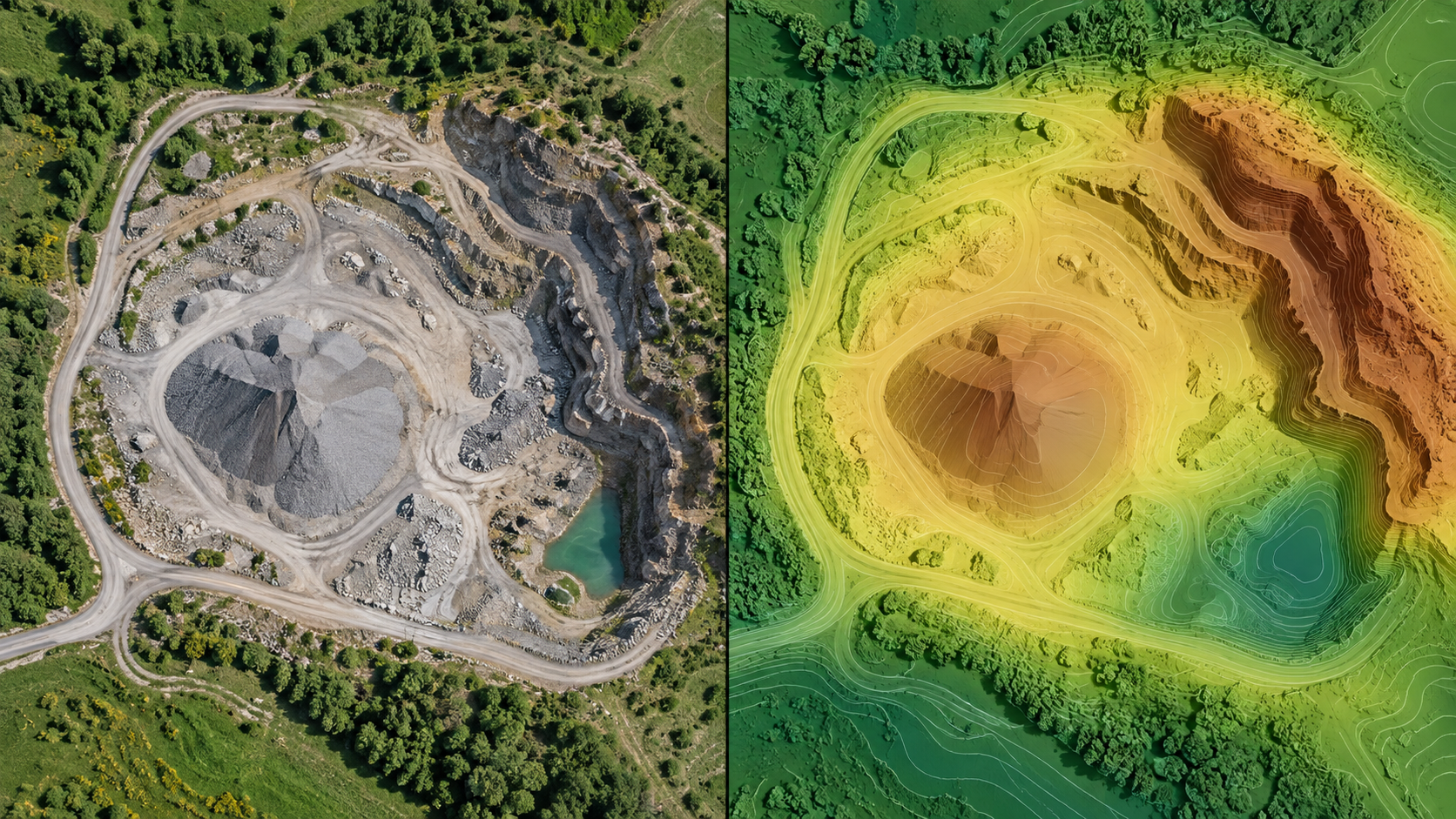
Read the guides for ground control, processing modes, map layers, annotations, volume, and reports. The educational blog explains how imagery becomes spatial outputs.
Browse guides →The startup offer includes one floating desktop seat. Live checkout and signed installer downloads open after release gates and the recurring payment setup are complete.
See pricing and terms →