Image import and preflight
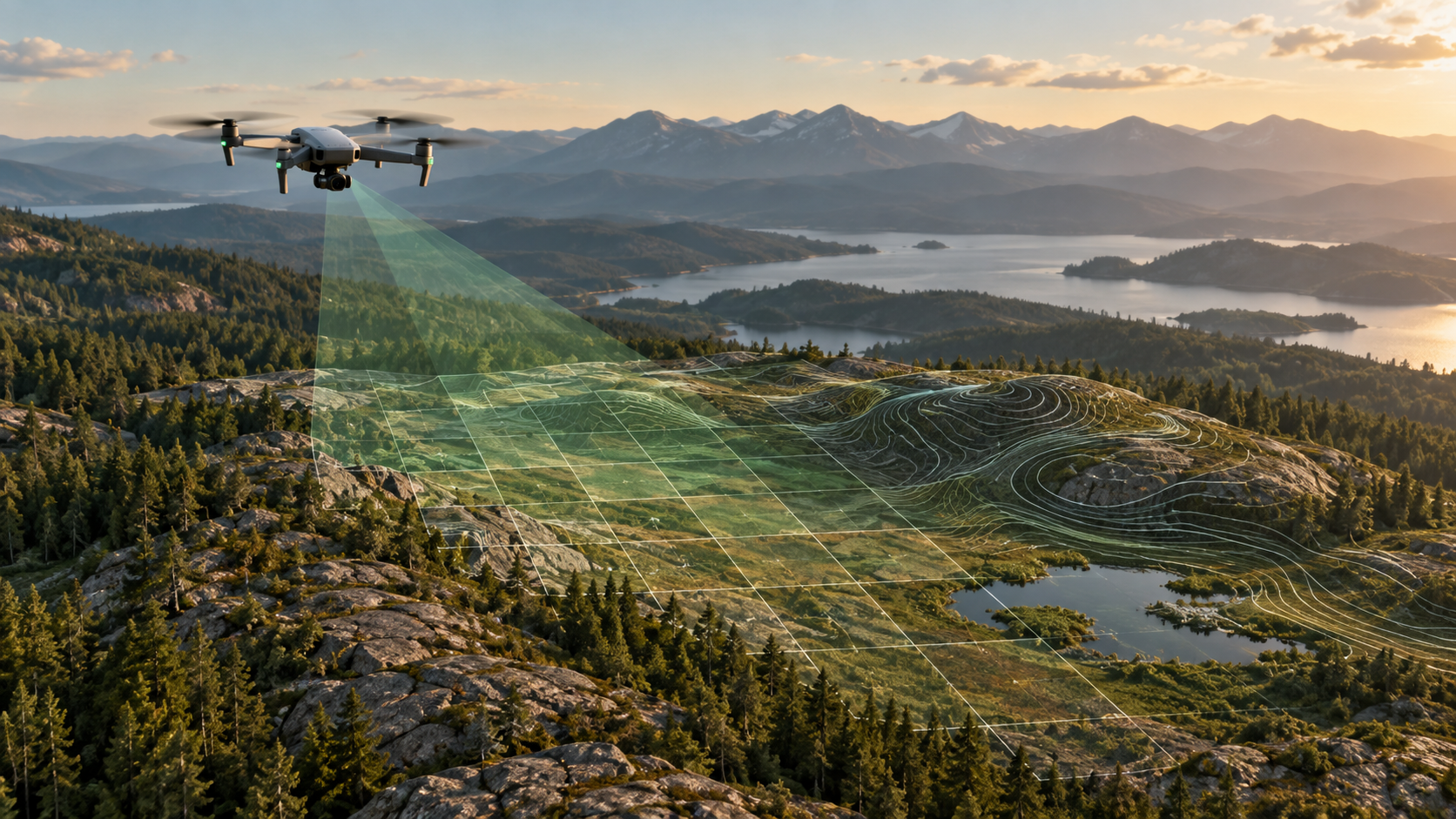
Bring in original drone photographs and inspect image count, camera metadata, GPS coverage, duplicates, and missing files.
See how it works →See the steps in one desktop workspace. Each result can be inspected in the context of the photos, control points, and settings behind it.
Bring in original drone photographs and inspect image count, camera metadata, GPS coverage, duplicates, and missing files.
See how it works →Import surveyed points with the right coordinate system and keep independent checkpoints for accuracy review.
See how it works →Survey reads RAM, free disk, and supported NVIDIA GPU capabilities to guide compatible processing settings.
See how it works →Use Auto for the normal path, Single for one processing unit, or Manual groups when a large survey needs planned sections.
See how it works →See the current processing stage, customer-facing progress, and details to investigate a stalled or failed stage.
See how it works →Recover submitted work after interruption where safe, then verify completed outputs before sharing them.
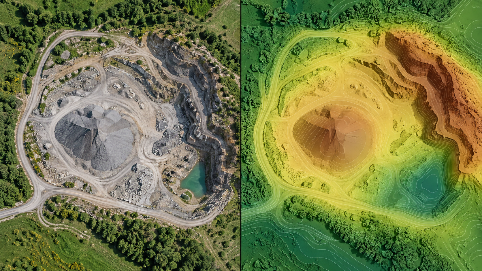
See how it works →Switch between orthophoto, terrain, elevation, and other available outputs in a connected map.
See how it works →Turn on the Drone Photos layer to locate geotagged images and open the original view from a map marker.
See how it works →Record observations where they belong, add context, save them, and revisit them in reports.
See how it works →Draw measurements on suitable map layers and check units and elevation context.
See how it works →Define a boundary and reference surface, then inspect assumptions before using the result.
See how it works →Review control and checkpoint results, choose report sections, validate exports, and track downloads.
See how it works →Create a project backup and test recovery while retaining original imagery separately.
See how it works →Use one active workstation per license and release the seat when moving to another PC.
See how it works →We captured map, photo, annotation, processing, report, export, and terrain views. Imagery and visible locations are being reviewed before publication.
Explore the guides →